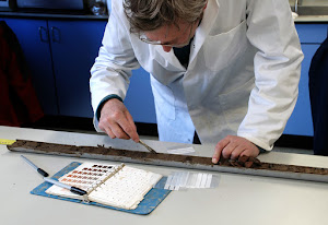
Sedimentological analysis
More information
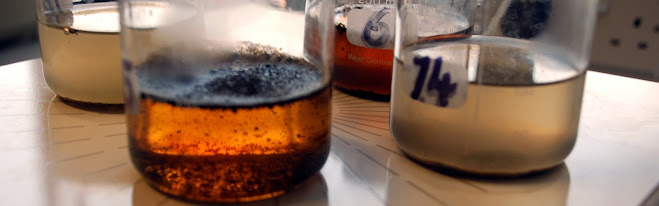
Bioarchaeological analysis
More information
Data analysis
More information
Download our capability statement (pdf) Click here
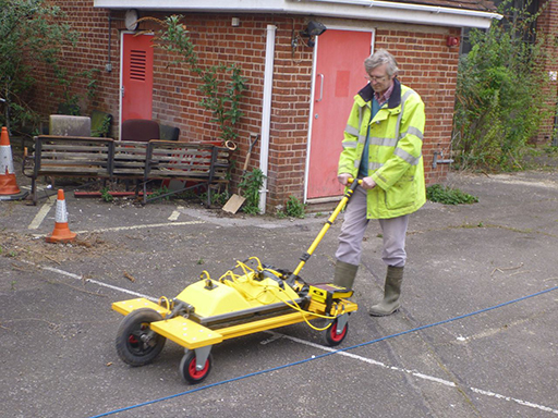
GPR is a geophysical remote sensing technique used by Earth scientists to image sub-surface stratigraphy, forensic practitioners in hunting for buried human remains, utility companies to map cables and pipes, and by archaeologists to prospect for buried archaeological features.
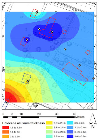
GPR is an extremely useful geoarchaeological tool. Gross stratigraphy can be mapped without a test
pit or a borehole having to be dug/drilled, surveys are rapid and can be undertaken even when there
is a concrete or tarmac surface.
ARCA possesses pulse EKKO Pro GPR equipment including antennae of 50, 100, 250 and 500MHz, meaning that all types of geoarchaeology, geological and forensic survey can be undertaken.
GPR works by passing radio waves into the ground from a transmitting antenna and detecting the time and intensity of their return at a receiving antenna. Radio waves are reflected as a result of changing relative dialectic permitivities (RDP) in a soil profile/sediment stratigraphy, while RDP varies as
a result of differences in grain size, mineral/lithological composition, but most of all, water content.
While penetration of radio waves is dependent upon RDP, the frequency at which the waves are transmitted is also important, i.e. a high frequency (short wavelength) antenna can detect RDP changes
in the top few metres, while a low frequency (long wavelength) type has a theoretical sub-surface penetration of tens of metres. On the other hand the higher the frequency of the antenna, the better the spatial and vertical resolution of the survey, meaning that for example a grave, pit, narrow ditch and sedimentary layer of 0.1m might be detected/discrimated with a high frequency antenna, but not with
a low frequency model.
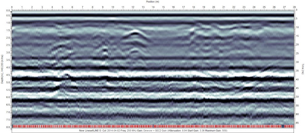
The results of GPR survey are conventionally plotted as either cross sections that map the intensity of radio wave reflection versus time (and hence depth) or as multiple planar view time slices. The former
are primarily used for stratigraphic interpretation and the latter to map features.

Geoarchaeology
Ground penetrating radar (GPR)


Registered Organisation, Chartered Institute for Archaeologists (CIfA)
